| Lee
and Karen Duquette, The Two RV Gypsies: Full-Time RVers drove to Lava Butte and hiked to the Ranger's Lookout August 3, 2013 |
|
 |
|
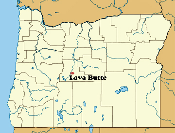
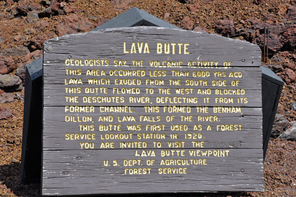
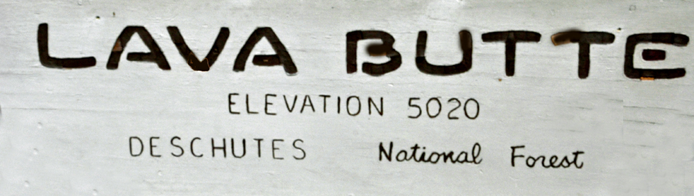
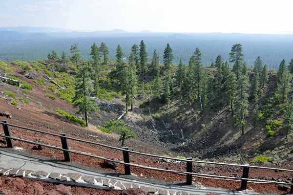
Lava Butte is a cinder cone located in central Oregon, USA, just west of US Highway 97 between the towns of Bend, Oregon, and Sunriver, Oregon. It is part of a system of small cinder cones on the northwest flank of Newberry Volcano, a massive shield volcano which rises to the southeast. The cinder cone is capped by a crater which extends about 60 feet deep beneath its south rim, and 160 feet deep from the 5,020 foot summit on its north side. Lava Butte is part of the Newberry National Volcanic Monument. |
|
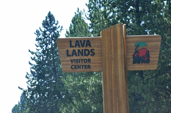
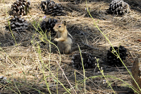
Below: Lava Lands Visitor Center sign and a Golden-mantled Ground Squirrel |
|
 |
 |
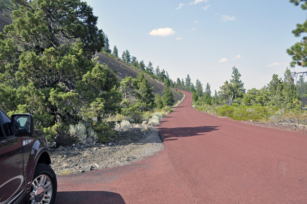
Below: Lee Duquette drove
their toad to the top of Lava Butte for a spectacular view of Central
Oregon (Butte parking was limited to 10 spaces, so FREE 30-minute time
passes were issued on a first come, first served basis at the Center's
Welcome Station. It is extremely important that visitors pay attention
to the arrival time on their pass. |
|
 |
|
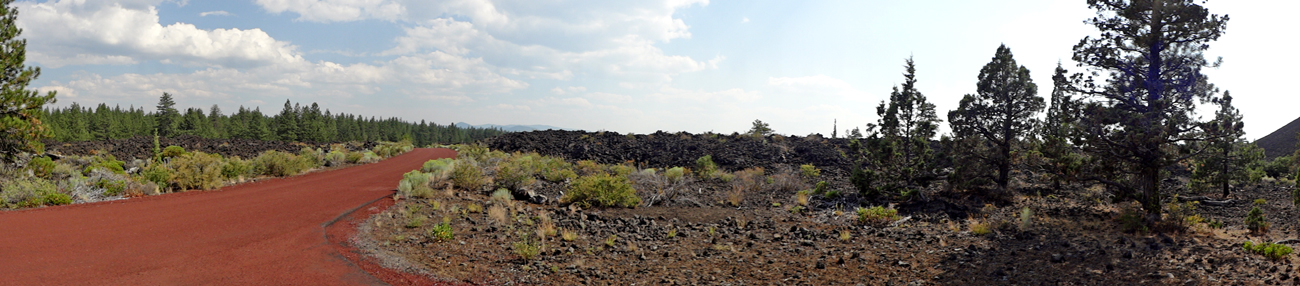
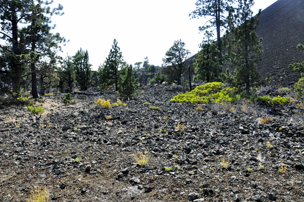
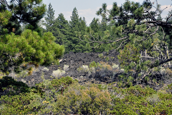
Below: On the drive up to the top of Lava Butte, mounds of lava flow were seen everywhere. |
|
 |
 |
 |
|
 |
 |
 |
 |
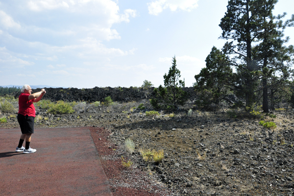
Below: The two RV Gypsies stopped to photograph the mounds of lava flow on the way to the top of Lava Butte. |
|
 |
 |
|
|
 |
|
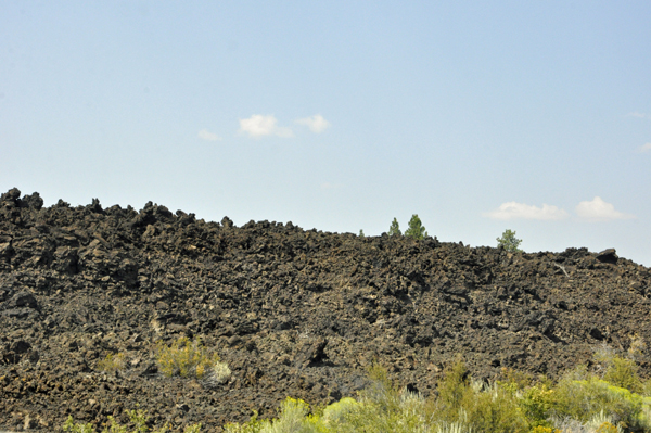
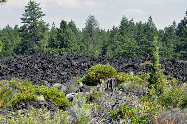
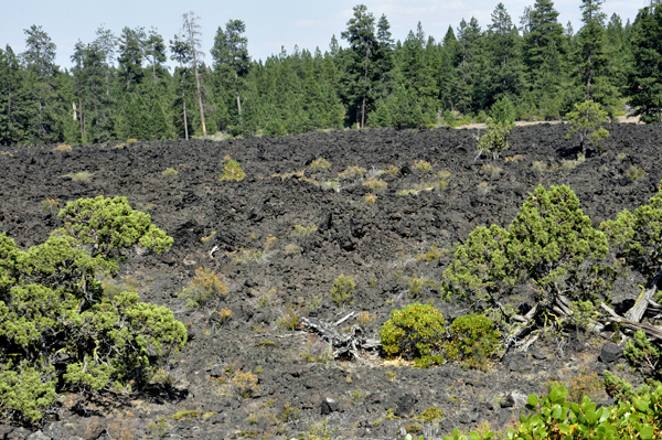
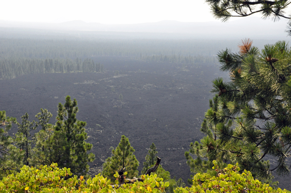
Below: Like the other cinder cones in the area, Lava Butte only experienced a single eruption, dated by geologists in 1977 to about 7,000 years ago. The eruption began with a fissure spewing hot cinders to form the cone. In the next phase, a river of hot basalt flowed from the base of the small volcano to cover a large area to the west with a lava flow which remains largely free of vegetation. The lava flows reached the Deschutes River about 2.5 miles to the west of the cone, burying its former channel under over 100 feet of lava and damming the river to form a lake, known as Lake Benham. The river eventually overflowed the lava dam and eroded down into it, draining the lake and forming Benham Falls. (There is a link to photos at Benham Falls at the bottom of this page). Geologists estimate that 90% of the magma erupted as lava flows, 9% as scoria which forms the cone, and 1% as volcanic ash which forms a thin layer extending to the north. |
|
Above quote From Wikipedia, the free encyclopedia |
|
 |
|
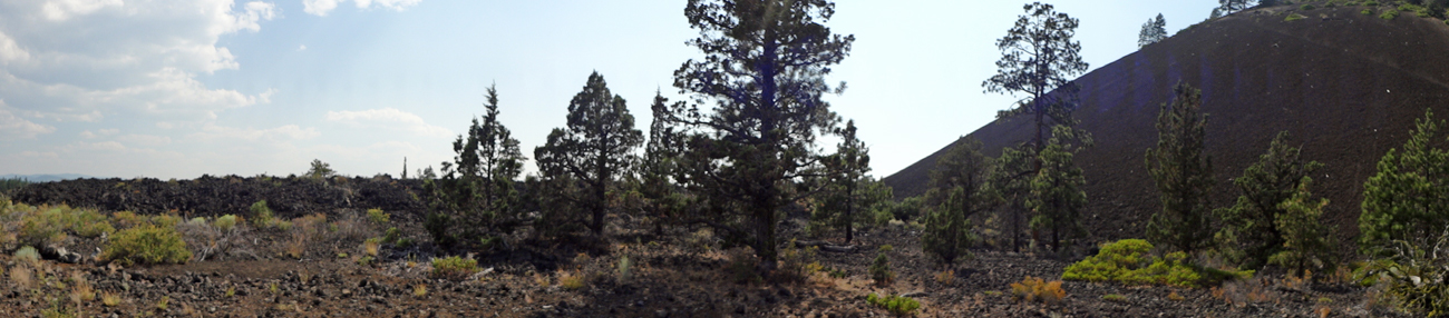
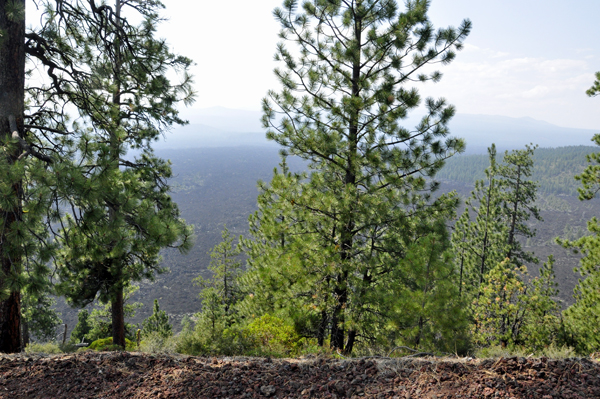
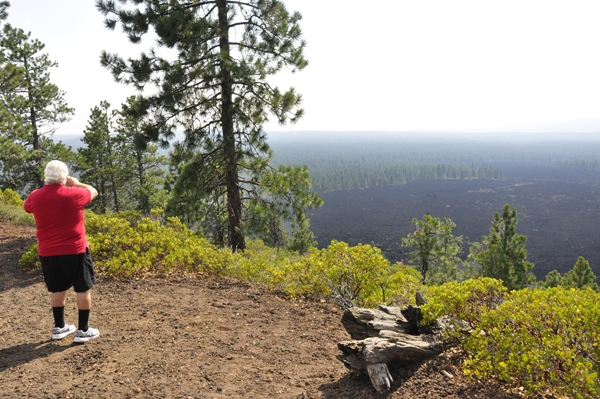
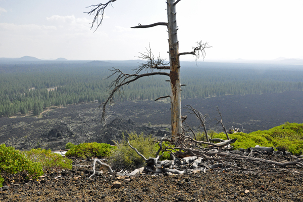
Below: It was not a real clear day when these photos were taken, but the black lava flow far below could still be seen. |
|
 |
 |
 |
|
Below: Lee Duquette took photos from part way up Lava Butte |
|
 |
 |
 |
 |
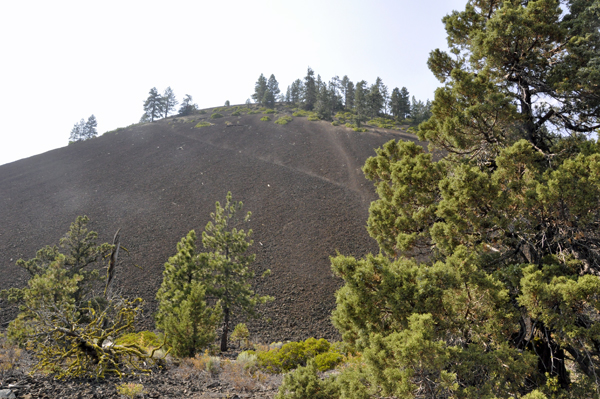
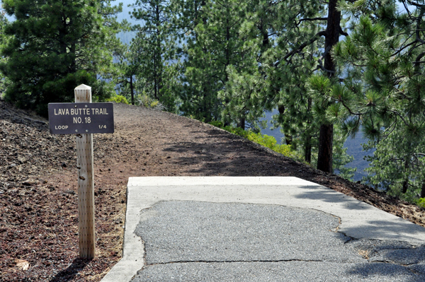
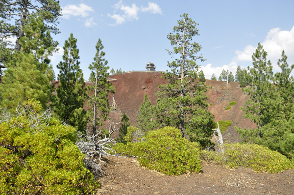
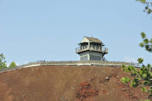
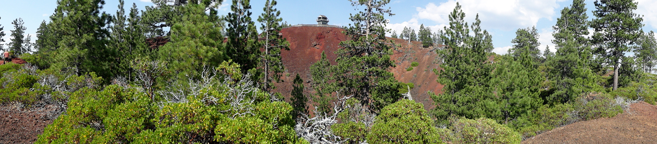
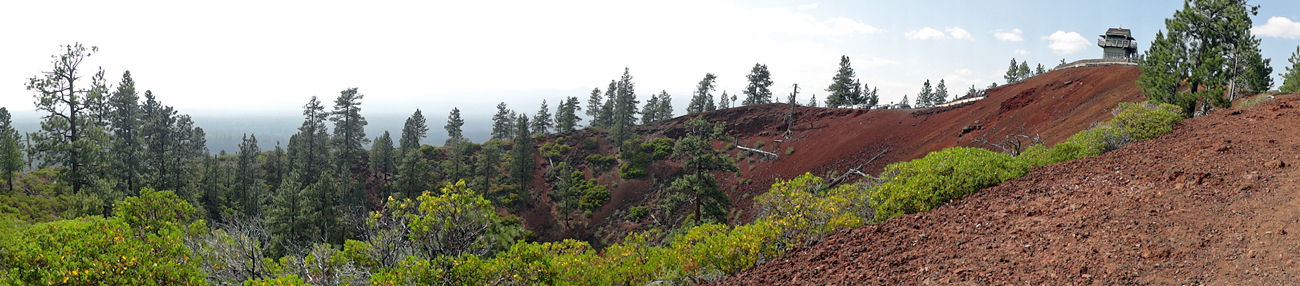
Below: The Cinder Cone and the working Fire Lookout atop Lava Butte. This is where Lee and Karen Duquette hiked to. Although it was only 1/4 of a mile, the trail was very steep and seemed so much longer then one-fourth of a mile. |
|
 |
|
 |
 |
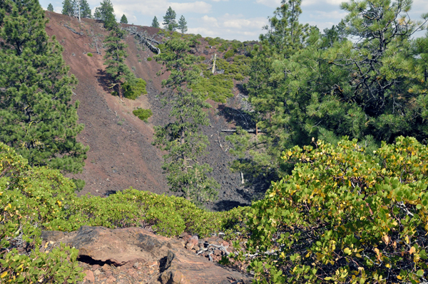
Below: A cinder covered trail encircles the rim of the cone. |
|
 |
|
 |
|
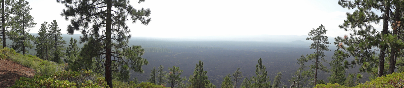
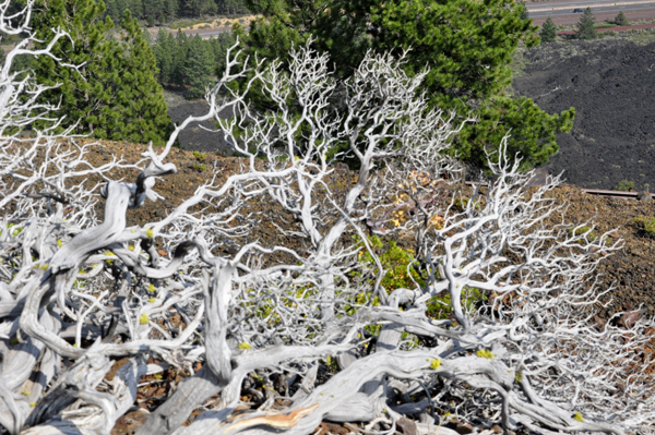
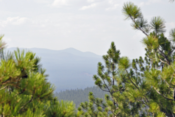
Below: Outstanding views from the rim of the cone |
|
|
 |
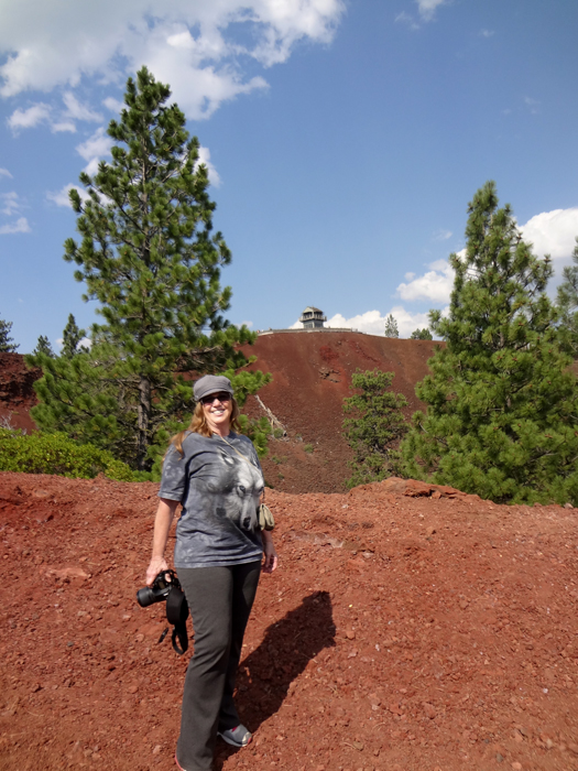
Below: Lee and Karen Duquette approached the half-way mark around the trail. |
|
 |
|
 |
|
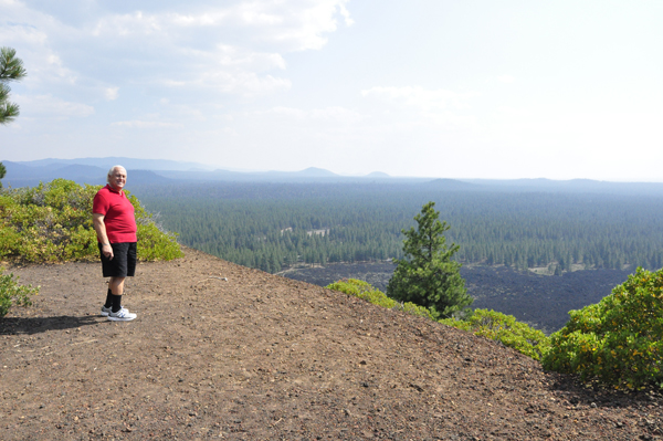
Below: Lee and Karen Duquette finally made it to the top of Lava Butte. It was a short, but steep and exhausting hike. |
|
 |
|
Below: Looking down from the Lava Butte sign, the two RV Gypsies saw the center of the cinder cone. The trail looped that entire center and was quite an exhausting hike because the uphill section was very steep. But it was a nice trail. |
|
 |
 |
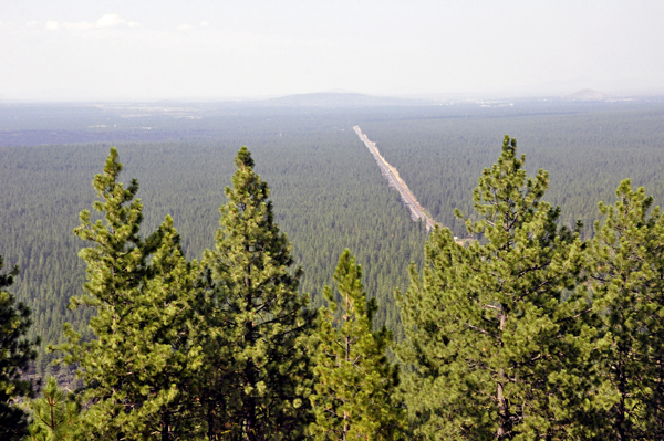
Below: Views in different directions from the top of Lava Butte |
|
 |
 |
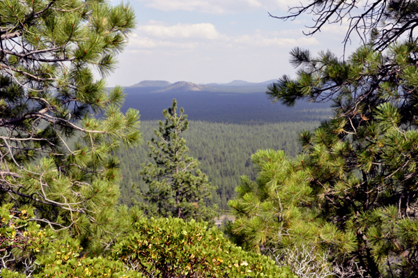
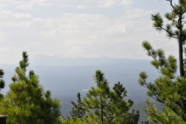
Below: View of the Three Sisters Mountain tops |
|

 If you have already seen all of the 32 sites in Oregon,


